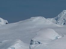


Hemus Peak (Bulgarian: връх Хемус, romanized: vrah Hemus, IPA: [ˈvrɤx ˈxɛmos]) is an ice-covered peak rising to 636 metres (2,087 ft) off the northwest extremity of Bowles Ridge in eastern Livingston Island. The feature is breast-shaped, 850 metres (2,790 ft) long in east-west direction and 550 metres (1,800 ft) wide, and overlooks Kaliakra Glacier to the northeast and Perunika Glacier to the southwest. Hemus is an ancient name of Stara Planina (Balkan Mountains), the central mountain range separating northern from southern Bulgaria.