| Hicks Creek Reynolds Creek,[1] Cherry Springs Creek | |
|---|---|
 View overlooking Cherry Springs Pond, the origin of Cherry Springs Creek, a tributary to Hicks Creek | |
| Location | |
| Country | United States |
| State | California |
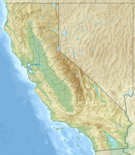
| Region | Santa Clara County, California |
| City | San Jose |
| Physical characteristics | |
| Source | |
| • location | Cherry Springs on the north slope of El Sombroso Mountain |
| • coordinates | 37°11′19″N 122°54′50″W / 37.18861°N 122.91389°W[3] |
| • elevation | 1,621 ft (494 m) |
| Mouth | Guadalupe Creek |
• location | borders south San Jose, California |
• coordinates | 37°12′18.6″N 121°53′46.9″W / 37.205167°N 121.896361°W[2] |
• elevation | 439 ft (134 m)[2] |
| Basin features | |
| Tributaries | |
| • left | Cherry Springs Creek |
Hicks Creek,[4] also known as Reynolds Creek,[1] is a perennial 1.9 miles (3.1 km) northeast flowing stream in Santa Clara County, California, United States.[2] It is a tributary to Guadalupe Creek, which is in turn, a tributary to the Guadalupe River and south San Francisco Bay at San Jose, California.
- ^ a b Sarah Young; Richard McMurtry; Michael Stanley-Jones; Alice Ringer (February 1, 2003). Chapter 4, Assessment of Guadalupe Watershed in Volume 2, Watershed Assessment Report (PDF) (Report). Santa Clara Basin Watershed Management Initiative (WMI). pp. 4–9. Retrieved March 6, 2023.
- ^ a b c U.S. Geological Survey. National Hydrography Dataset high-resolution flowline data. The National Map, accessed March 15, 2011
- ^ "Cherry Springs". Geographic Names Information System. United States Geological Survey, United States Department of the Interior.
- ^ Janet M. Sowers; Robert W. Givler (2006). Creek & Watershed Map of South San Jose (Report). Oakland, CA: Oakland Museum of California. Retrieved March 9, 2023.
