| High Stile | |
|---|---|
 High Stile from Red Pike | |
| Highest point | |
| Elevation | 807 m (2,648 ft) |
| Prominence | 362 m (1,188 ft) |
| Parent peak | Great Gable |
| Listing | Marilyn, Hewitt, Wainwright, Nuttall |
| Coordinates | 54°31′18″N 3°17′02″W / 54.52167°N 3.28381°W |
| Geography | |
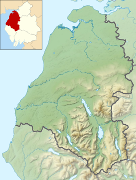
Location in the Lake District National Park | |
| Location | Cumbria, England |
| Parent range | Lake District, Western Fells |
| OS grid | NY170148 |
| Topo map | OS Landranger 89, Explorer OL4 |
High Stile is a mountain in the western part of the Lake District in North West England. It is the eleventh-highest English Marilyn, standing 807 metres (2,648 ft) high, and has a relative height of 362 metres (1,188 ft).
It is the highest in the range of fells extending north-west from Great Gable towards Loweswater, and together with its satellites, Red Pike and High Crag, forms a trio of fells overlooking the lake and village of Buttermere. On this side are high crags, wild combes and a small tarn, Bleaberry Tarn. High Stile is most easily ascended as part of a traverse of the three fells.


