| Hindscarth | |
|---|---|
 Hindscarth and Robinson from Catbells | |
| Highest point | |
| Elevation | 727 m (2,385 ft) |
| Prominence | 71 m (233 ft) |
| Parent peak | Dale Head |
| Listing | Hewitt, Wainwright, Nuttall |
| Coordinates | 54°32′16″N 3°12′53″W / 54.53766°N 3.21476°W |
| Naming | |
| English translation | pass used by the red deer |
| Language of name | Norse |
| Geography | |
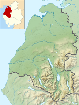
Location in the Lake District National Park | |
| Location | Cumbria, England |
| Parent range | Lake District, North Western Fells |
| OS grid | NY215165 |
| Topo map | OS Landrangers 89, 90, Explorer OL4 |
Hindscarth is a mountain between the valleys of Buttermere and Newlands, in the north-western part of the English Lake District. The fell's name is derived from two words from the Old Norse language, Hind and Skarth, and means the pass used by the red deer.

