| Hodges Gardens State Park | |
|---|---|
 A view of A. J. Hodges Island. | |
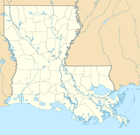
| Location | 1000 Hodges Loop, Sabine Parish, Louisiana, United States of America |
| Coordinates | 31°22′09″N 93°25′29″W / 31.36921°N 93.4248183°W[1] |
| Area | approx. 700 acres (2.8 km2; 1.1 sq mi) [1] |
| Established | 1956[1] |
| Governing body | Louisiana Office of State Parks |
| www | |
Hodges Gardens | |
| NRHP reference No. | 14001173 |
|---|---|
| Added to NRHP | July 15, 2015 |
Hodges Gardens State Park, previously known as Hodges Gardens, Park and Wilderness Area, was located on 4,700 acres (19 km2) between Florien and Hornbeck, near the Toledo Bend Reservoir of the Sabine River in Sabine Parish, in west central Louisiana. The park was located on U.S. Highway 171 some fifteen miles (24 km) south of Many, the seat of Sabine Parish. The facility offered walking trails, formal gardens, arboretum, the Azalea Overlook, waterfalls, and a visitor center. Originally, privately developed during the 1940s and opened to the public in 1956. The park was formally dedicated on May 1, 1959, and transferred to a non-profit foundation in 1960. In April 2007, it became part of the Louisiana public parks system.[2] It is the largest horticultural park and recreation area in the United States and with the acquisition Hodges Garden became the newest park in Louisiana. As of February 20, 2018, ownership of Hodge's Garden State Park was transferred to the A. J. and Nona Trigg Hodges Foundation and closed. The park remains closed with no plans of reopening.[3]
- ^ a b c "Hodges Gardens State Park - Louisiana Office of State Parks". Archived from the original on January 12, 2011. Retrieved January 30, 2011.
- ^ "Hodges Garden info". Retrieved February 14, 2011.
- ^ Friends of Hodges Gardens State Park web site. Retrieved June 29, 2018.
