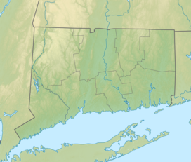
| Housatonic Meadows State Park | |
|---|---|
 Appalachian Trail's Pine Knob Loop Trail overlooking the Housatonic River Valley in Housatonic Meadows State Park | |
| Location | Cornwall and Sharon, Connecticut, United States |
| Coordinates | 41°49′59″N 73°22′58″W / 41.83306°N 73.38278°W[1] |
| Area | 452 acres (183 ha)[2] |
| Elevation | 446 ft (136 m)[1] |
| Established | 1927[3] |
| Administered by | Connecticut Department of Energy and Environmental Protection |
| Designation | Connecticut state park |
| Website | Official website |
Housatonic Meadows State Park is a public recreation area covering 452 acres (183 ha) along the Housatonic River in the towns of Sharon and Cornwall, Connecticut. The state park offers opportunities for camping, hiking, picnicking, canoeing, and fly-fishing. It is crossed by the Appalachian Trail and is managed by the Connecticut Department of Energy and Environmental Protection.[3]
- ^ a b "Hatch Brook". Geographic Names Information System. United States Geological Survey, United States Department of the Interior.
- ^ Cite error: The named reference
pristaffwas invoked but never defined (see the help page). - ^ a b Cite error: The named reference
DEEPwas invoked but never defined (see the help page).

