| Etymology | Sir Charles Grey, Viscount Howick[1] |
|---|---|
| Geography | |
| Location | Coral Sea |
| Coordinates | 14°30′11″S 144°58′26″E / 14.50306°S 144.97389°E |
| Total islands | 19 |
| Major islands |
|
| Area | 4.8 km2 (1.9 sq mi)[2] |
| Highest elevation | 56 m (184 ft)[3] |
| Administration | |
| State | Queensland |
| Demographics | |
| Population | 0 |
The Howick Island is the southernmost and a now uninhabited island in the Howick group that is part of the Great Barrier Reef Marine Park in Far North Queensland, Australia.
It fell within the territory of the Ithu people in pre-colonial times.
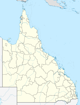
The island is located in the Coral Sea and is situated about 100 kilometres (62 mi) south-east of Cape Melville. The area of the island is approximately 480 hectares (1,200 acres).[2]
- ^ Cite error: The named reference
qpnwas invoked but never defined (see the help page). - ^ a b "Map of Howick Island, QLD". Bonzle Digital Atlas of Australia. Retrieved 30 October 2015.
- ^ "Howick Group National Park Management Statement 2013" (PDF). Department of National Parks, Recreation, Sport and Racing. Queensland Government. Retrieved 30 October 2015.
