This article needs additional citations for verification. (October 2022) |
46°17′33″N 33°44′6″E / 46.29250°N 33.73500°E
Hryhorivka
Григорівка | |
|---|---|
| Coordinates: 46°17′33″N 33°44′06″E / 46.2925°N 33.735°E | |
| Country | |
| Oblast | |
| Raion | Kakhovka Raion |
| Area | |
• Total | 4.3 km2 (1.7 sq mi) |
| Population | |
• Total | 1,814 |
| • Density | 420/km2 (1,100/sq mi) |
| Time zone | UTC+2 (EET) |
| • Summer (DST) | UTC+3 (EEST) |
| Postal Code | 75240 |
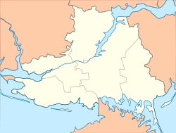
Hryhorivka (Ukrainian: Григорівка), is a village in southern Ukraine, which is located in Kakhovka Raion of Kherson Oblast and hosts the administration of the Hryhorivka rural hromada, one of the Hromadas of Ukraine.[1]
The village is near Lake Lemuria, a lake in Ukraine well-known for its pink color, which comes from beta-carotene-producing algae.
It has an area of 4.3 km2 and a population of approximately 1,814 people.
- ^ "Григорьевская (Присивашская) громада - Херсонская область,". gromada.info (in Russian). Retrieved 2023-02-16.

