| Hula Valley | |
|---|---|
 | |
| Naming | |
| Native name | עמק החולה (Hebrew) |
| Geography | |
| Location | |
| Coordinates | 33°06′12″N 35°36′33″E / 33.10333°N 35.60917°E |
| Designations | |
|---|---|
| Official name | Hula Nature Reserve |
| Designated | 12 November 1996 |
| Reference no. | 868[1] |


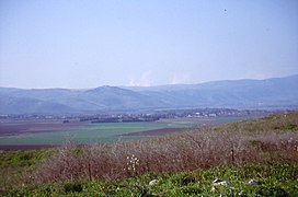
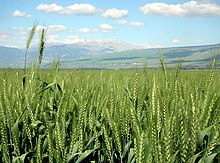
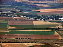
The Hula Valley (Hebrew: עֶמֶק הַחוּלָה, romanized: ʿEmeq haḤūlā; Arabic: وادي الحولة, romanized: wadi al-Ḥūla) is an agricultural region in northern Israel with abundant fresh water that used to be Lake Hula before it was drained. It is a major stopover for birds migrating along the Great Rift Valley between Africa, Europe, and Asia.
Lake Hula and the marshland surrounding it were a breeding ground for mosquitoes carrying malaria and thus were drained in the 1950s.[2] A small section of the valley was later reflooded in an attempt to revive a nearly extinct ecosystem. An estimated 500 million migrating birds now pass through the Hula Valley every year.[3]
- ^ "Hula Nature Reserve". Ramsar Sites Information Service. Retrieved 25 April 2018.
- ^ The Drainage of the Hula Swamps, Yehuda Karmon
- ^ The Hula Reserve[permanent dead link]