Idnibba
إدنبّة Dhenebbeh | |
|---|---|
| Etymology: The lower part of a valley through which water flows.[1] | |
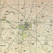
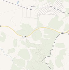
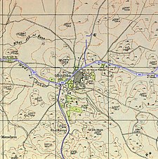
A series of historical maps of the area around Idnibba (click the buttons) | |
Location within Mandatory Palestine | |
| Coordinates: 31°44′32″N 34°51′22″E / 31.74222°N 34.85611°E | |
| Palestine grid | 136/127 |
| Geopolitical entity | Mandatory Palestine |
| Subdistrict | Ramle |
| Date of depopulation | July 9–10, 1948[4] |
| Area | |
• Total | 8,103 dunams (8.103 km2 or 3.129 sq mi) |
| Population (1945) | |
• Total | 490[2][3] |
| Cause(s) of depopulation | Influence of nearby town's fall |
| Current Localities | Kfar Menahem |
Idnibba (Arabic: إدنبّة) was a Palestinian village, located at latitude 31.7426937N and longitude 34.8561001,E in the southern part of the Ramle Subdistrict. It was depopulated in 1948, at which time its population was 568, and its lands are now used by Kfar Menahem.


