Imi | |
|---|---|
| Coordinates: 6°28′N 42°10′E / 6.467°N 42.167°E | |
| Country | Ethiopia |
| Region | Somali |
| Zone | Afder |
| Woreda | Mirab Imi |
| Elevation | 442 m (1,450 ft) |
| Time zone | UTC+3 (EAT) |
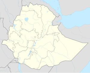
Imi (also transliterated as Imay and Hinna, Arabic: إيماني) is a town in the Somali Region of Ethiopia. It is currently divided to two separate towns. East Imi located in Imiberi woreda of the Gode Zone and West Imi located in Mirab Imi woreda of the Afder Zone. The Shebelle River runs between these towns. It's located at latitude and longitude 6°28′N 42°10′E / 6.467°N 42.167°E with an elevation of 442 meters above sea level.
The clans that live here are the Hawiye (Karanle) and Ogaden clan (Aulihan) (Abdalle) of the Somali people.
The Central Statistical Agency has not published an estimate for this village's 2005 population. Imi hosts an airport (ICAO code HAIM) which consists of an unpaved airstrip about 1050 meters in length, possibly the shortest in an Ethiopian civil airport.
