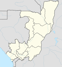
Impfondo Airport | |||||||||||
|---|---|---|---|---|---|---|---|---|---|---|---|
| Summary | |||||||||||
| Airport type | Public | ||||||||||
| Serves | Impfondo, Republic of the Congo | ||||||||||
| Elevation AMSL | 1,099 ft / 335 m | ||||||||||
| Coordinates | 01°35′22″N 018°02′42″E / 1.58944°N 18.04500°E | ||||||||||
| Map | |||||||||||
 | |||||||||||
| Runways | |||||||||||
| |||||||||||
Impfondo Airport (IATA: ION, ICAO: FCOI) is an airport serving the city of Impfondo, Republic of the Congo.
The runway has an additional 63 metres (207 ft) of paved overrun on each end. East approach and departure will cross the Ubangi River, which is the international border with the Democratic Republic of the Congo.
- ^ Airport information for Impfondo Airport at Great Circle Mapper.
- ^ Google Maps - Impfondo
