Iraq Suwaydan
عراق سويدان Iraq al-Suweidan | |
|---|---|
 View of Iraq Suwaydan village from Israeli machine gun position, November 1948 | |
| Etymology: "The cavern of Suweidan"[1] | |
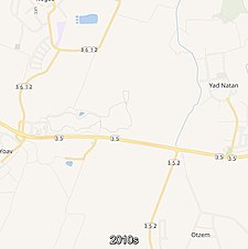
A series of historical maps of the area around Iraq Suwaydan (click the buttons) | |
Location within Mandatory Palestine | |
| Coordinates: 31°38′55″N 34°41′34″E / 31.64861°N 34.69278°E | |
| Palestine grid | 121/117 |
| Geopolitical entity | Mandatory Palestine |
| Subdistrict | Gaza |
| Date of depopulation | 8 July 1948[4] |
| Area | |
• Total | 7,529 dunams (7.529 km2 or 2.907 sq mi) |
| Population (1945) | |
• Total | 660[2][3] |
| Cause(s) of depopulation | Military assault by Yishuv forces |
| Current Localities | Yad Natan,[5] Otzem,[5] Sde Yoav[5] |
'Iraq Suwaydan (Arabic: عراق سويدان, Hebrew: עיראק סווידאן) was a Palestinian Arab village located 27 km (17 mi) northeast of Gaza City. It was captured by Israeli forces in Operation Yoav against the defending Egyptian Army during the 1948 Arab-Israeli War. The village infrastructure, with the exception of the police station built by the British Mandate authorities, was destroyed.


