You can help expand this article with text translated from the corresponding article in French. (October 2018) Click [show] for important translation instructions.
|
Native name: Old name=Île Crane | |
|---|---|
 Isle-aux-Grues | |
| Geography | |
| Location | Saint Lawrence River |
| Coordinates | 47°03′34″N 70°32′35″W / 47.05944°N 70.54306°W |
| Archipelago | Isle-aux-Grues |
| Length | 7 km (4.3 mi) |
| Width | 2 km (1.2 mi) |
| Administration | |
Canada | |
| Parish municipality | Saint-Antoine-de-l'Isle-aux-Grues |
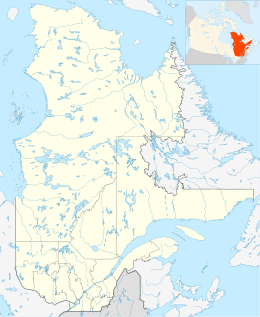
Isle-aux-Grues (French for "island of cranes") is an island situated on the Saint Lawrence River, in the municipality of Saint-Antoine-de-l'Isle-aux-Grues, in the Montmagny Regional County Municipality (MRC), in administrative region of Chaudière-Appalaches, in Quebec, in Canada.
