| Izhora Plateau | |
|---|---|
| Russian: Ижорская возвышенность | |
 Highest point - Voronya mountain | |
| Highest point | |
| Elevation | 176 m (577 ft) |
| Dimensions | |
| Area | 24.7 km2 (9.5 sq mi) |
| Geography | |
| Country | Russia |
| Federal subject | Leningrad Oblast |
| Range coordinates | 59°30′0″N 29°35′0″E / 59.50000°N 29.58333°E |
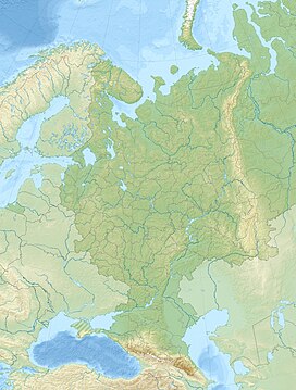
The Izhora Plateau (Russian: Ижорская возвышенность) is an elevated landform on Ordovician limestone bedrock in the southwestern part of Leningrad Oblast, between the Gulf of Finland in the north and the Luga River in the south.
Its northern edge is formed by the erosional cliff known as the Baltic-Ladoga Klint. It is formed by pre-Quaternary rocks.[1] The highest part of the plateau is the Orekhovaya hill of Duderhof Heights at 176 m, situated in its extreme northeastern part. The plateau is mostly covered by agricultural lands.

- ^ Zhdanov, Sergey & Kurilenko, Vitaly. (2017). Quantitative groundwater estimation of Izhora Plateau, Russian Federation using thermodynamic and kinetic methods for carbonate rock interaction in identified karst terrain. Carbonates and Evaporites. 32. 1-12. doi:10.1007/s13146-017-0351-8

