| Jack Elliott Creek | |
|---|---|
| Location | |
| Country | Canada |
| Province | British Columbia |
| District | Renfrew Land District |
| Physical characteristics | |
| Source | unnamed slope |
| • coordinates | 48°31′35″N 124°13′27″W / 48.52632848976881°N 124.22420262455019°W[2] |
| • elevation | 783 m (2,569 ft)[3] |
| Mouth | Loss Creek |
• coordinates | 48°29′33″N 124°16′00″W / 48.49250°N 124.26667°W[1] |
• elevation | 117 m (384 ft) |
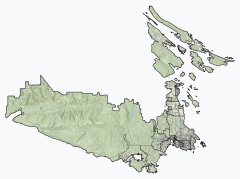
Jack Elliott Creek is a river in the Renfrew Land District of British Columbia, Canada. Located on southern Vancouver Island, it flows from its source to its mouth as a right tributary of Loss Creek.[1][2][4][5]
- ^ a b "Jack Elliott Creek". Geographical Names Data Base. Natural Resources Canada. Retrieved 22 October 2020.
- ^ a b "Toporama (on-line map and search)". Atlas of Canada. Natural Resources Canada. 12 September 2016. Retrieved 22 October 2020.
- ^ "Google Earth". Retrieved 22 October 2020.
- ^ "Jack Elliott Creek". BC Geographical Names. Retrieved 22 October 2020.
- ^ "Juan de Fuca Marine Trail map" (PDF). BC Parks. Archived from the original (PDF) on 31 March 2010. Retrieved 22 October 2020.

