This article needs additional citations for verification. (July 2018) |
Jalalabad, Shamli
Jalalabad Jallabad | |
|---|---|
| Nickname: | |
 | |
| Country | |
| State | Uttar Pradesh |
| District | Shamli district |
| Elevation | 133 m (436 ft) |
| Population (2011)[1] | |
• Total | 27,921 |
| Languages | |
| • Official | Hindi |
| Time zone | UTC+5:30 (IST) |
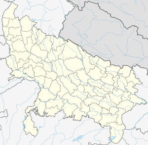
Jalalabad (Jalālābād) is a town and a nagar panchayat in Shamli district in the Indian state of Uttar Pradesh. It is a historical town situated on Delhi Saharanpur road. Dating back to the Mughal period, situated close to the borders of Haryana and Uttarakhand states, and surrounded by a very fertile agricultural region namely ( Ahata Gaunsgarh, Nagal, Khanpur, Ahmedpur, Chandona, Pandokhedi, Kamalpur Bakdoli, Umarpur, Tilafra, Hasanpur Luhari) famous for plentiful yields in grains and fruits, Jalalabad is internationally famous for its wood carving work cottage industry. It is a thriving market of local agricultural produce, including basmati rice and mangoes. A variety of agro-based industrial enterprises - such as textile, sugar, paper and cigarette factories - are located around it. It is 41 km from Saharanpur and 40 km from Muzaffarnagar.
- ^ "Census of India: Search Details". Archived from the original on 23 September 2015. Retrieved 29 December 2014.
