Joyland | |
|---|---|
| Coordinates: 33°42′43″N 84°23′47″W / 33.711998°N 84.396436°W | |
| Country | United States |
| State | Georgia |
| County | Fulton County |
| City | City of Atlanta |
| NPU | Y |
| ZIP Code | 30315 |
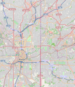
Joyland is a neighborhood of small, single family homes in southeast Atlanta, Georgia and site of a former 1921 amusement park built for African Americans.
It is bordered by the Downtown Connector (I-75/I-85) freeway on the west, High Point on the north, Pryor Avenue and The Villages at Carver on the east, and Amal Heights on the south.[2]
- ^ "Dr. Sawicki's Studio Project - Atlanta Neighborhood Report". Archived from the original on 2007-02-23. Retrieved 2011-10-17.
- ^ City of Atlanta Online, Map of NPU Y Archived 2010-11-29 at the Wayback Machine
