This article has multiple issues. Please help improve it or discuss these issues on the talk page. (Learn how and when to remove these messages)
|
Kanchanbari | |
|---|---|
Village | |
| Coordinates: 24°06′34″N 91°59′06″E / 24.1095564°N 91.9850943°E | |
| Country | |
| State | Tripura |
| District | Unakoti |
| Government | |
| • Type | Gram Panchayat |
| • Body | Kanchanbari Gram Panchayet |
| • Gram Pradhan | (BJP) |
| Elevation | 40 m (130 ft) |
| Population (2011)[citation needed] | |
| • Total | 6,696 |
| Demonym | Kanchanbaribashi |
| Languages | |
| • Official | Bengali[1][2] |
| • Additional official | English[1] |
| Time zone | UTC+5:30 (IST) |
| Telephone code | +03825 |
| Vehicle registration | TR |
| Lok Sabha constituency | Tripura East |
| Vidhan Sabha constituency | Fatik Roy no.51 |
| Precipitation | 2,081 mm (82 in) |
| Avg. annual temperature | 24.5 °C (76 °F) |
| Website | tripura |
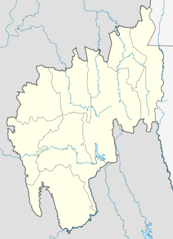
Kanchanbari is a village in the Kumarghat subdistrict of the Unakoti district in the Indian state of Tripura. This village is located 28 kilometres (17 mi) south of the district headquarters in Kailasahar and 91 kilometres (57 mi) from the state capital Agartala. The village had a population of 6,696 as of 2011.
- ^ a b "Fact and Figures". Wb.gov.in. Retrieved 10 March 2019.
- ^ "52nd Report of the Commissioner for Linguistic Minorities in India" (PDF). Nclm.nic.in. Ministry of Minority Affairs. p. 85. Archived from the original (PDF) on 25 May 2017. Retrieved 10 March 2019.

