Kandi | |
|---|---|
 Cathedral of Our Lady of Mount Carmel | |
| Coordinates: 11°07′43″N 2°56′13″E / 11.12861°N 2.93694°E | |
| Country | |
| Department | Alibori Department |
| Area | |
• Total | 3,421 km2 (1,321 sq mi) |
| Elevation | 288 m (945 ft) |
| Population (2013)[1] | |
• Total | 177,683 |
| • Density | 52/km2 (130/sq mi) |
| Time zone | UTC+1 (WAT) |
| Postal address | BP: 30 |
| Area code | (+229) 23 |
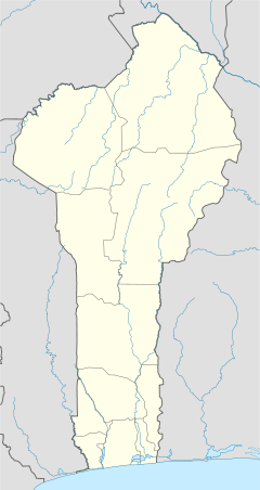
Kandi [kɑ̃.di] is a town, arrondissement and commune in the Alibori Department of eastern Benin. Originally a market town, Kandi is now primarily a farming centre. It lies on the nation's main north-south highway, 650 km (400 mi) from Cotonou and 523 km (325 mi) north of Porto-Novo.[2] The town is the capital of the department of Alibori. The commune covers an area of 3,421 km2 (1,321 sq mi) and as of 2013 had a population of 177,683 people.[3][4] The town itself had a population of 27,227 in 2002.
- ^ Benin at Geohive Archived 2016-08-28 at the Wayback Machine
- ^ "Kandi (Benin)". Encyclopædia Britannica. Retrieved January 10, 2010.
- ^ "Kandi". Atlas Monographique des Communes du Bénin. Archived from the original on February 26, 2009. Retrieved January 5, 2010.
- ^ "Communes of Benin". Statoids. Archived from the original on March 24, 2012. Retrieved January 5, 2010.
