Karatiyya
كرتيا Karatayya, Karatiya, Qaratiyya | |
|---|---|
| Etymology: "Thick, tangled grass" (possibly)[1] | |
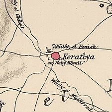
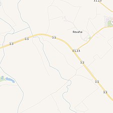
A series of historical maps of the area around Karatiyya (click the buttons) | |
Location within Mandatory Palestine | |
| Coordinates: 31°38′37″N 34°43′33″E / 31.64361°N 34.72583°E | |
| Palestine grid | 124/116 |
| Geopolitical entity | Mandatory Palestine |
| Subdistrict | Gaza |
| Date of depopulation | 17–18 July 1948[4] |
| Area | |
• Total | 13,709 dunams (13.709 km2 or 5.293 sq mi) |
| Population (1945) | |
• Total | 1,370[2][3] |
| Cause(s) of depopulation | Military assault by Yishuv forces |
| Current Localities | Komemiyut,[5] Revaha,[5] Nehora[5] |
Karatiyya (Arabic: كرتيا) was a Palestinian Arab village of 1,370, located 29 kilometers (18 mi) northeast of Gaza, situated in a flat area with an elevation of 100 meters (330 ft) along the coastal plain of Palestine and crossed by Wadi al-Mufrid.[6]
- ^ Palmer, 1881, p. 368
- ^ Government of Palestine, Department of Statistics, 1945, p. 31
- ^ Government of Palestine, Department of Statistics. Village Statistics, April, 1945. Quoted in Hadawi, 1970, p. 46
- ^ Morris, 2004, p. xix, village # 302. Also gives the cause for the depopulation
- ^ a b c Khalidi, 1992, p. 119
- ^ Cite error: The named reference
Khalidiwas invoked but never defined (see the help page).


