| Karenga | |
|---|---|
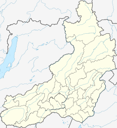
Mouth location in Zabaykalsky Krai, Russia | |
| Location | |
| Country | Russia |
| Federal subject | Zabaykalsky Krai |
| Physical characteristics | |
| Source | Yablonoi Mountains South Siberian System |
| • coordinates | 52°54′40″N 114°33′26″E / 52.91111°N 114.55722°E |
| • elevation | 1,612 m (5,289 ft) |
| Mouth | Vitim |
• location | Near Ust-Karenga |
• coordinates | 54°27′41″N 116°31′01″E / 54.46139°N 116.51694°E |
• elevation | 561 m (1,841 ft) |
| Length | 366 km (227 mi) |
| Basin size | 10,100 km2 (3,900 sq mi) |
| Discharge | |
| • average | 55 m3/s (1,900 cu ft/s) |
| Basin features | |
| Progression | Vitim→ Lena→ Laptev Sea |
The Karenga (Russian: Каренга) is a river in Zabaykalsky Krai, southern East Siberia, Russia. It is 366 kilometres (227 mi) long, and has a drainage basin of 10,100 square kilometres (3,900 sq mi).[1] The area through which the river flows is inhabited by indigenous Tungus people.[2]
There are Neolithic archaeological sites near the mouth of the river where ancient ceramic remains belonging to the Ust-Karenga Culture have been found.[3][4]
- ^ "Река Каренга in the State Water Register of Russia". textual.ru (in Russian).
- ^ Cite error: The named reference
WRwas invoked but never defined (see the help page). - ^ Vetrov V.M. Ceramics of the Ust-Karenga Culture in the Vitim.
- ^ "Усть-Каренгская культура" [Ust-Karenga Culture] (in Russian). Энциклопедия Забайкалья. Retrieved 29 September 2021. (in Russian)
