| Katepwa Point Provincial Park | |
|---|---|
 Katepwa Beach | |
| Location | |
| Nearest city | Fort Qu'Appelle, Indian Head |
| Coordinates | 50°41′39″N 103°37′38″W / 50.69417°N 103.62722°W |
| Area | 5 ha (12 acres) |
| Established | 1931 |
| Governing body | Saskatchewan Parks |
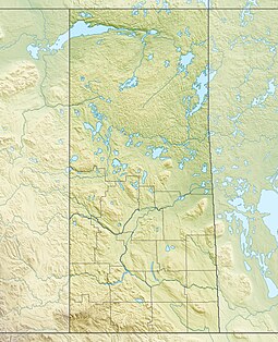
Katepwa Point Provincial Park is located along the eastern shore of Katepwa Lake in the southern portion of the Canadian province of Saskatchewan, adjacent to the resort village of Katepwa.[1] The park's primary feature is a large beach, which is complemented by a large lawn, boat launch, and picnic facilities.[2] At only (5 ha (12 acres)) in size, it is among the smallest of Saskatchewan's provincial parks.[3]
The park was established by the Canadian federal government in 1921 as Vidal Point Dominion Park. In 1930, the Government of Canada transferred the responsibility for Saskatchewan's natural resources to the province. As such, Vidal Point fell under the jurisdiction of the newly created Saskatchewan Parks Branch in 1931 and was renamed Katepwa Point Provincial Park. It was one of the six original provincial parks in Saskatchewan, the others being Moose Mountain, Duck Mountain, Cypress Hills, Good Spirit Lake Provincial Park, and Little Manitou.[4]
Highway 56 provides access to the park as it travels along the Qu'Appelle Valley and the Fishing Lakes.
- ^ "The Encyclopedia of Saskatchewan | Details".
- ^ "Katepwa Point Provincial Park | Tourism Saskatchewan".
- ^ "Katepwa Point Provincial Park Visitors' Guide: Tips and Information".
- ^ "Provincial Parks". The Encyclopedia of Saskatchewan. University of Regina. Retrieved 20 September 2022.

