| Kennesaw Mountain National Battlefield Park | |
|---|---|
 Recreated artillery position on Kennesaw Mountain | |
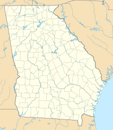
| Location | Cobb County, Georgia, USA |
| Nearest city | Marietta, GA |
| Coordinates | 33°58′59″N 84°34′41″W / 33.98306°N 84.57806°W |
| Area | 2,913.63 acres (11.7910 km2)[1] |
| Established | February 18, 1917[2] |
| Visitors | 1,005,510 (in 2005) |
| Governing body | National Park Service |
| Website | Kennesaw Mountain National Battlefield Park |
Kennesaw Mountain National Battlefield Park | |
| Nearest city | Marietta, Georgia |
| Area | 2,923 acres (1,182.9 ha) |
| Built | 1933 |
| Architect | Peter Valentine Kolb |
| Architectural style | Federal, Moderne |
| NRHP reference No. | 66000063[3] |
| Added to NRHP | October 15, 1966 |
Kennesaw Battlefield Park preserves a Civil War battleground of the Atlanta Campaign, and also contains Kennesaw Mountain. It is located at 900 Kennesaw Mountain Drive, between Marietta and Kennesaw, Georgia. The name "Kennesaw" derives from the Cherokee Indian "Gah-nee-sah" meaning "cemetery" or burial ground.[4] The area was designated as a U.S. historic district on October 15, 1966.
- ^ "Listing of acreage – December 31, 2020" (XLSX). Land Resource Division, National Park Service. Retrieved August 15, 2021. (National Park Service Acreage Reports)
- ^ "Park Anniversaries". Retrieved August 13, 2021.
- ^ "National Register Information System". National Register of Historic Places. National Park Service. July 9, 2010.
- ^ "History & Culture - Kennesaw Mountain National Battlefield Park", NPS.gov, 2009. Retrieved on November 6, 2012.


