| Kents Hill, Monkston and Brinklow | |
|---|---|
Location within Buckinghamshire | |
| Population | 8,344 (2011 Census)[1] |
| OS grid reference | SP895371 |
| Civil parish |
|
| Unitary authority | |
| Ceremonial county | |
| Region | |
| Country | England |
| Sovereign state | United Kingdom |
| Post town | MILTON KEYNES |
| Postcode district | MK9, MK10 |
| Dialling code | 01908 |
| Police | Thames Valley |
| Fire | Buckinghamshire |
| Ambulance | South Central |
| UK Parliament | |
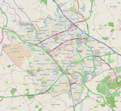
Kents Hill, Monkston and Brinklow is a civil parish that covers the Kents Hill, Brinklow, Monkston, Monkston Park and Kingston districts of Milton Keynes in Buckinghamshire, England.[2] As the first tier of Local Government, the Parish Council is responsible for the people, living and working in this area of Milton Keynes.
The Parish was formed in 2001 as part of a general parishing of the Borough. It is bounded by Chaffron Way, the Broughton Brook, Newport Road, Groveway, Brickhill Street, Standing Way, and the River Ouzel.
- ^ UK Census (2011). "Local Area Report – Kents Hill, Monkston and Brinklow (E04001285)". Nomis. Office for National Statistics. Retrieved 17 November 2019.
- ^ "Parish Map of Milton Keynes" (PDF). Milton Keynes Council. Archived from the original (PDF) on 16 September 2012. Retrieved 26 April 2012.


