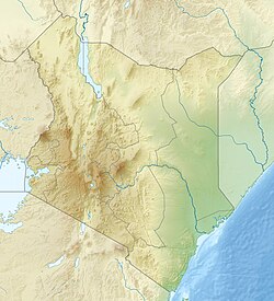
Kerugoya
Kiriguoya | |
|---|---|
Town | |
| Kerugoya | |
| Coordinates: 0°30′S 37°17′E / 0.500°S 37.283°E | |
| Country | |
| County | Kirinyaga County |
| Elevation | 1,548 m (5,079 ft) |
| Population (1999) | |
| • Urban | 14,056 |
| • Total | 39,441 |
| Time zone | UTC+03:00 (EAT) |
Kerugoya is the biggest town in Kirinyaga County, located 10 kilometres east of Karatina and 40 kilometres west of Embu. It is situated in the former Kirinyaga district. Travel directions by road from Nairobi is through Thika Road past Thika, Kenol and Makuyu (along the Thika Road). The road leads through Makutano until Sagana town, where a road branches off the East towards Kagio town up to Kirinyaga University branching North towards the town.
You can also drive through the Plains of Mwea branching east at Makutano, famous for the largest rice irrigation scheme in Eastern Africa, passing numerous communes inhabited by the Kikuyu, majority of whom practise Subsistence farming.
Kerugoya town mostly serves as an urban area to the inhabitants of Kangaita, Kimunye, Kagumo and Karia.[2]
- ^ "GeoNames.org". www.geonames.org. Retrieved 16 March 2018.
- ^ file:///C:/Users/Hp%20840/Downloads/CIDP%20Kirinyaga%20-%202013-2017.pdf
