| Khasi-Jaintia Hills | |
|---|---|
| District of Assam Province, British India | |
| 1912–1947 | |
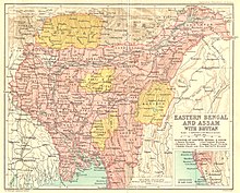
 The Khasi and Jaintia Hills in the Bengal Gazetteer, 1907 | |
| Area | |
• 1901 | 15,947 km2 (6,157 sq mi) |
| Population | |
• 1901 | 197,904 |
| History | |
• Bifurcation of Eastern Bengal and Assam[1] | 1912 |
| 1947 | |

The Khasi and Jaintia Hills are a mountainous region in India that was mainly part of Assam and Meghalaya. This area is now part of the present Indian constitutive state of Meghalaya (formerly part of Assam), which includes the present districts of East Jaintia Hills district, headquarter Khliehriat, West Jaintia Hills district, headquarter Jowai, East Khasi Hills district, headquarter Shillong, and West Khasi Hills district, headquarter Nongstoin.[2]
- ^ Chisholm, Hugh, ed. (1911). . Encyclopædia Britannica. Vol. 15 (11th ed.). Cambridge University Press. pp. 773–774.
- ^ "Integration of the North East: the State Formation Process" (PDF). Archived from the original (PDF) on 19 February 2014. Retrieved 16 July 2014.