Khilgaon Thana
খিলগাঁও থানা | |
|---|---|
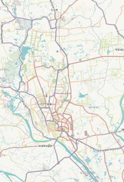
 Expandable map of vicinity of Khilgaon Thana | |
| Coordinates: 23°45′03″N 90°25′35″E / 23.75083333°N 90.42638889°E | |
| Country | |
| Division | Dhaka Division |
| District | Dhaka District |
| Formed | 1988 |
| Area | |
• Total | 14.83 km2 (5.73 sq mi) |
| Elevation | 23 m (75 ft) |
| Population | |
• Total | 380,740 |
| • Density | 26,000/km2 (66,000/sq mi) |
| Time zone | UTC+6 (BST) |
| Postal code | 1219[3] |
| Area code | 02[4] |
Khilgaon (Bengali: খিলগাঁও) is a thana (police jurisdiction) and neighbourhood in the city of Dhaka, Bangladesh. The thana encompasses Dhaka South City Corporation wards 24, 25, and 26.[5][2] In 2022, it had a population of about 380 thousand.
- ^ "Geographic coordinates of Dhaka, Bangladesh". DATEANDTIME.INFO. Retrieved 7 July 2016.
- ^ a b National Report (PDF). Population and Housing Census 2022. Vol. 1. Dhaka: Bangladesh Bureau of Statistics. November 2023. p. 386. ISBN 978-9844752016.
- ^ "Bangladesh Postal Code" (PDF). Bangladesh. 19 October 2024.
- ^ "Bangladesh Area Code". China: Chahaoba.com. 18 October 2024.
- ^ Cite error: The named reference
Banglapediawas invoked but never defined (see the help page).


