Al-Zawiya
الزاوية | |
|---|---|
| Etymology: The corner | |
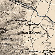
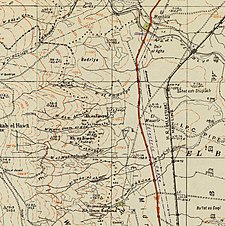
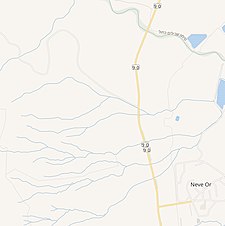
A series of historical maps of the area around Khirbat Zawiya (click the buttons) | |
Location within Mandatory Palestine | |
| Coordinates: 32°35′50″N 35°32′26″E / 32.59722°N 35.54056°E | |
| Palestine grid | 201/222 |
| Geopolitical entity | Mandatory Palestine |
| Subdistrict | Baysan |
| Date of depopulation | May 15th-18th, 1948 |
Al-Zawiya (Arabic: الزاوية), was a Palestinian Arab village in the District of Baysan. It was depopulated by the Israel Defense Forces during the 1948 Arab-Israeli War on May 15–18, 1948 under Operation Gideon. It was located 11.5 km northeast of Baysan. The Crusader Castle Belvoir is located close to the village.


