King Georges Road | |
|---|---|
 | |
| King Georges Road, Roselands | |
| Coordinates |
|
| General information | |
| Type | Road |
| Length | 9.0 km (5.6 mi)[1] |
| Gazetted | February 1929[2] |
| Route number(s) | |
| Former route number | |
| Major junctions | |
| Northwest end | Wiley Park, Sydney |
| Southeast end | Blakehurst, Sydney |
| Location(s) | |
| Major suburbs | Roselands, Beverly Hills, Penshurst, Hurstville |
| ---- | |

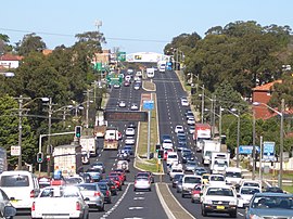
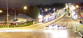
King Georges Road is a 9.0-kilometre-long (5.6 mi)[1] major suburban arterial road through south-western Sydney, Australia. It is a constituent part of the A3 route.
- ^ a b "King Georges Road" (Map). Google Maps. Retrieved 8 May 2023.
- ^ "Main Roads Act, 1924-1927". Government Gazette of the State of New South Wales. No. 37. National Library of Australia. 15 March 1929. p. 1275. Archived from the original on 4 May 2023. Retrieved 4 May 2023.
