This article contains weasel words: vague phrasing that often accompanies biased or unverifiable information. (April 2017) |
Kishanganj district | |
|---|---|
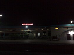
 Kishanganj Railway | |
 Location of Kishanganj district in Bihar | |
| Coordinates (Kishanganj): 26°15′N 87°59′E / 26.250°N 87.983°E | |
| Country | |
| State | |
| Division | Purnia |
| Headquarters | Kishanganj |
| Government | |
| • Lok Sabha constituencies | Kishanganj |
| • Vidhan Sabha constituencies | Bahdurganj, Thakurganj, Kishanganj, Kochadhaman |
| Area | |
| • Total | 1,884 km2 (727 sq mi) |
| Population (2011) | |
| • Total | 1,690,400 |
| • Density | 900/km2 (2,300/sq mi) |
| Demographics | |
| • Literacy | 57.04 per cent |
| • Sex ratio | 946 |
| Time zone | UTC+05:30 (IST) |
| Vehicle registration | BR-37 |
| Major highways | |
| Website | kishanganj |
Kishanganj district is one of the thirty-eight districts of Bihar state, India, and Kishanganj town is the administrative headquarters of this district. Kishanganj district is a part of Purnia division (Seemanchal).