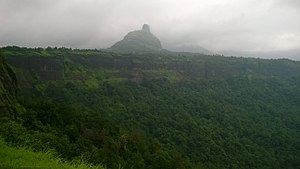
| Kothaligad/ Peth Fort | |
|---|---|
| Part of Sahyadri Hill Range | |
| Raigad district, Maharashtra | |
 Kothaligad fort | |
| Coordinates | 18°59′32.3″N 73°30′45.6″E / 18.992306°N 73.512667°E |
| Type | Hill fort |
| Height | 4490 Ft. |
| Site information | |
| Owner | Government of India |
| Controlled by | Ahmadnagar (1521-1594)
|
| Open to the public | Yes |
| Condition | Ruins |
| Site history | |
| Materials | Stone |
Kothaligad (also called Kotligad/ Kothligad/Peth) is a small fort (3100 ft) situated to the east of Karjat near Karjat-Murbad Road in the Indian state of Maharashtra. It is a famous trek in the Karjat area, because of its small height and easy climbing. It is also known as the Fort of Peth because of its vicinity to Peth village at its base.
How to Reach -
Nearest station is Karjat from there
Karjat railway station - Karjat bus depot - catch bus for Ambivali village ( bus name - solangaon Or Jamrug) - reach the top
Also private vehicle are also available (auto Or tum tum) with around 400-600 rupees
