| Kuururjuaq National Park | |
|---|---|
 | |
| Nearest city | Kangiqsualujjuaq |
| Coordinates | 58°37′49.8″N 64°33′20.52″W / 58.630500°N 64.5557000°W |
| Area | 4,460 km² |
| Established | May 2009 |
| Governing body | Kativik Regional Government |
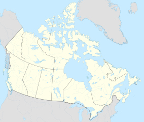
Kuururjuaq National Park (French: Parc national Kuururjuaq) is a 4,460 km2 (1,720 sq mi) national park, created in May 2009 and managed by the Kativik Regional Government, in northeast Quebec, Canada. It stretches all the way from Ungava Bay to Mount D'Iberville, which is on the Newfoundland and Labrador and Quebec border. Mount D'Iberville, at an altitude of 1,646 m (5,400 ft), is the highest mountain in eastern continental Canada, dominating over the entire Torngat Mountain range. The 166 km (103 mi) Koroc River runs through the national park to Ungava Bay. Kuururjuaq National Park contains a variety of different ecosystems and comprises three natural regions: the Torngat Mountain Foothills, the George River Plateau and the Ungava Coast. Like other Nunavik parks, Kuururjuaq National Park is developed and managed by the Inuit.[1][2][3]
- ^ "Parc national Kuururjuaq - Parcs Québec - Sépaq". SÉPAQ. Retrieved September 4, 2016.
- ^ "Kuururjuaq Nunavik Parks". Nunavik Parks. Archived from the original on June 13, 2021. Retrieved September 4, 2016.
- ^ "Kuururjuaq - a Nunavik park developed and managed by Inuit". NunatsiaqOnline. September 30, 2013. Retrieved September 4, 2016.

