| Kuznetsk Alatau | |
|---|---|
| Кузнецкий Алатау | |
 | |
| Highest point | |
| Peak | Staraya Krepost |
| Elevation | 2,217 m (7,274 ft) |
| Coordinates | 53°51′34″N 89°18′01″E / 53.85944°N 89.30028°E[1] |
| Dimensions | |
| Length | 300 km (190 mi) SW / NE |
| Width | 150 km (93 mi) |
| Geography | |
| Country | Russia |
| Federal subject | Khakassia Kemerovo Oblast |
| Range coordinates | 53°45′N 89°15′E / 53.750°N 89.250°E |
| Parent range | Altai/Sayan South Siberian System |
| Geology | |
| Orogeny | Alpine orogeny |
| Rock age(s) | Proterozoic, Lower Paleozoic |
| Rock type(s) | Gabbro, diorite, granite and syenite intrusive rocks |


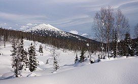
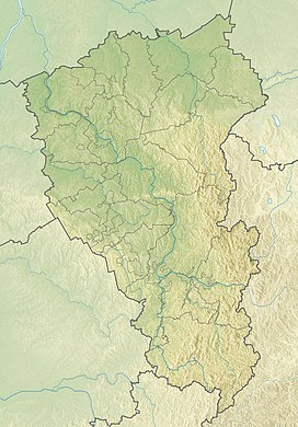
Kuznetsk Alatau (Russian: Кузнецкий Алатау) is a mountain range in southern Siberia, Russia. The range rises in the Altai-Sayan region of the South Siberian Mountains, northwest of Mongolia. The Siberian Railway skirts the northern limit of the range.[2]
- ^ "Staraya Krepost". PeakVisor. Retrieved 2023-12-20.
- ^ Cite error: The named reference
ESBEwas invoked but never defined (see the help page).


