| Kvernberget | |
|---|---|
 | |
| Highest point | |
| Elevation | 205 m (673 ft) |
| Prominence | 205 m (673 ft) |
| Coordinates | 63°07′05″N 07°48′38″E / 63.11806°N 7.81056°E |
| Geography | |
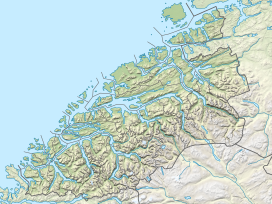
Location in Møre og Romsdal | |
| Location | Kristiansund Municipality, Møre og Romsdal, Norway |
Kvernberget (literally "Mill Cliff" or "Mill Mountain") is a barren mountain formation with a maximum elevation of 205 metres (673 ft). The mountain is located on the island of Nordlandet on the western edge of the town of Kristiansund in Kristiansund Municipality in Møre og Romsdal county, Norway. Kristiansund Airport, Kvernberget, which sits nearby, takes its name from the mountain.[1]
For a number of years, Kvernberget and the surrounding area have been popular for hiking and simple mountaineering activities, and the summit is Kristiansund's most popular hiking destination. From the summit, much of the Nordmøre district of Møre og Romsdal county may be seen in fair weather. A drinking water reservoir is located inside the mountain.[2]
- ^ Store norske leksikon. "Kvernberget" (in Norwegian). Retrieved 2010-11-21.
- ^ Gjertsen, Karl Ragnar (1987). Storkvenna på Nordlandet. Årbok for Nordmøre 1987. Vol. 1. Kristiansund. pp. 5–12.
{{cite book}}: CS1 maint: location missing publisher (link)
