You can help expand this article with text translated from the corresponding article in French. (November 2022) Click [show] for important translation instructions.
|
| Lac de Saint-Cassien | |
|---|---|
 The Lac de Saint-Cassien in winter | |
| Location | Var |
| Coordinates | 43°35′N 6°48′E / 43.583°N 6.800°E |
| Type | Artificial |
| Primary outflows | Biançon |
| Catchment area | 355 km2 (137 sq mi) |
| Basin countries | France |
| Surface area | 4.2 km2 (1.6 sq mi) |
| Water volume | 60,000,000 m3 (2.1×10⁹ cu ft) |
| Surface elevation | 147 m (482 ft) |
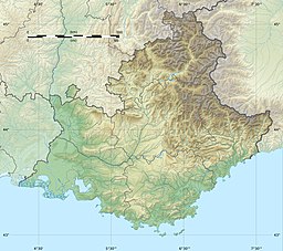
The Lac de Saint-Cassien (French pronunciation: [lak də sɛ̃kasjɛ̃]; Lake of Saint-Cassien) is a reservoir in the Var department, Southern France, not far from the border with Alpes-Maritimes. It is bordered by Montauroux, Tanneron and Les Adrets-de-l'Estérel. At an elevation of 147 m (482 ft), its surface area is 4.2 km2 (1.6 sq mi).[1]
The EDF Barrage de Saint-Cassien (Saint-Cassien Dam), northeast of the lake in the commune of Tanneron, was put into service in 1966.[1] Both the dam and reservoir were named after John Cassian (Jean Cassien), a Christian saint who founded the Abbey of St Victor in Marseille.
Wikimedia Commons has media related to Lac de Saint-Cassien.
- ^ a b Lac de Saint-Cassien, www.cc-paysdefayence.fr (in French).
