Lafayette County | |
|---|---|
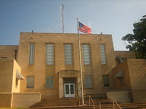
 Lafayette County Courthouse, Lewisville | |
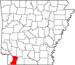
 Location within the U.S. state of Arkansas | |
 Arkansas's location within the U.S. | |
| Coordinates: 33°15′51″N 93°35′34″W / 33.264166666667°N 93.592777777778°W | |
| Country | |
| State | |
| Founded | October 15, 1827 |
| Named for | Marquis de Lafayette |
| Seat | Lewisville |
| Largest town | Stamps |
| Area | |
• Total | 545 sq mi (1,410 km2) |
| • Land | 528 sq mi (1,370 km2) |
| • Water | 17 sq mi (40 km2) 3.1% |
| Population (2020) | |
• Total | 6,308 |
| • Density | 12/sq mi (4.5/km2) |
| Time zone | UTC−6 (Central) |
| • Summer (DST) | UTC−5 (CDT) |
| ZIP Codes | 71826, 71827, 71845, 71860, 71861 |
| Area code | 870 |
| Congressional district | 4th |
| Website | www |
Lafayette County /lɑːˈfeɪɛt/ is a county located in the U.S. state of Arkansas. As of the 2020 census, the population was 6,308,[1] making it the third-least populous county in Arkansas. The county seat is Lewisville.[2] Lafayette County was formed on October 15, 1827, and named in honor of the Marquis de Lafayette,[3] a French military hero of the American Revolutionary War. It is a dry county; therefore, the sale of alcohol is prohibited.[citation needed]
- ^ "Census - Geography Profile: Lafayette County, Arkansas". United States Census Bureau. Retrieved January 20, 2023.
- ^ "Find a County". National Association of Counties. Retrieved June 7, 2011.
- ^ Gannett, Henry (1905). The Origin of Certain Place Names in the United States. Government Printing Office. p. 178.