| Lake of Fetzara | |
|---|---|
 | |
| Location | North east of Algeria, South-east of the city of Annaba |
| Coordinates | 36°47′N 7°31′E / 36.783°N 7.517°E |
| Basin countries | Algeria |
| Max. length | 18 km (11 mi) |
| Max. width | 13 km (8.1 mi) |
| Surface area | 206.80 km2 (79.85 sq mi) |
| Official name | Lac Fetzara |
| Designated | 4 June 2003 |
| Reference no. | 1299[1] |
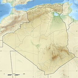
The Lake of Fetzara is located in northeastern Algeria, 18 km (11 mi) southeast of the city of Annaba. It measures 17 km (11 mi) from east to west and 13 km (8.1 mi) from north to south, with an area of about 18,600 hectares (46,000 acres). It was officially classified as an area "Ramsar", which involves protection of this location. Several studies have been conducted on water and soil of the region Fetzara [1-7]. These studies were carried out to monitor the salinity and to highlight its origins and factors governing it. The main objective of this study was to evaluate soil properties of Fetzara Lake that are affected by the phenomenon of salinization and to study their variation with depth. The samples were taken on the first two layers (0–20 cm and 20–40 cm) at eight points around the Fetzara Lake, for a total of 16 samples. The analytical results indicate that soil salinity has reached its maximum in the northeast (region of Wadi Zied) and south of Lake (region of Cheurfa) with a dominance of sodium chloride-chemical facies.
- ^ "Lac Fetzara". Ramsar Sites Information Service. Retrieved 25 April 2018.
