| Lake Imandra | |
|---|---|
 | |
| Location | Kola Peninsula, Murmansk Oblast |
| Coordinates | 67°40′N 33°00′E / 67.667°N 33.000°E |
| Primary outflows | Niva River |
| Basin countries | Russia |
| Surface area | 876 km2 (338 sq mi) |
| Max. depth | 67 m (220 ft) |
| Surface elevation | 127 m (417 ft) |
| Frozen | Winter |
| Islands | Erm Island |
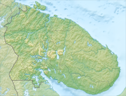
Imandra (Skolt Sami: Âʹvverjäuʹrr, Russian: Имандра, Finnish: Imantero) is a lake in the south-western part of the Kola Peninsula in Murmansk Oblast, Russia, slightly beyond the Arctic Circle. It is located 127 m above sea level; its area is about 876 km2, maximum depth is 67 m. The shape of the shore line is complicated. There are a number of islands and the largest one, Erm Island measures 26 km2. There are three principal parts of the lake connected by narrow straits: Greater Imandra (Большая Имандра) or Khibinskaya Imandra in the north (area 328 km2, length about 55 km, width 3–5 km), Ekostrovskaya Imandra in the centre (area 351 km2), and Babinskaya Imandra in the west (area 133 km2). The lake drains into the Kandalaksha Gulf of the White Sea by the Niva River. The lake is known for the transparency of its water and its abundance of fish.

