| Lake Karla | |
|---|---|
| Λίμνη Κάρλα (Greek) | |
 Lake Karla after its recreation in 2010. | |
| Location | Thessaly, Greece |
| Coordinates | 39°32′N 22°42′E / 39.533°N 22.700°E |
| Lake type | Drained (1962), Recreated (2010) |
| Primary inflows | 1 river and 7 tributaries |
| Primary outflows | Pinios River, evaporation |
| Catchment area | 37,000 km2 (14,000 sq mi) |
| Basin countries | Greece |
| Max. length | 25 km (16 mi) |
| Max. width | 46 km (29 mi) |
| Surface area | 37 km2 (14 sq mi)[citation needed] |
| Average depth | 6 m (20 ft) |
| Max. depth | 20 m (66 ft) |
| Shore length1 | 25 km (16 mi) |
| Surface elevation | 60–80 m (200–260 ft) |
| Islands | 3+ islands See article |
| Settlements | Kanalia |
| 1 Shore length is not a well-defined measure. | |
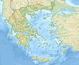
Lake Karla (Greek: Λίμνη Κάρλα) is a lake that sits at 60 to 80 m (200 to 260 ft) above sea level making it the only one in the plain of Thessaly. The lake is located at the northern end of the Magnesia regional unit in the Pineios basin, adjacent to Pelion and the Maurovouni mountains. On the eastern part of the lake lies the town of Kanalia.

