| Lake Mansarovar | |
|---|---|
| Mapam Yumtso (Standard Tibetan) | |
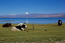
 Lake Manasarovar with Mount Kailash in the background | |
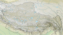
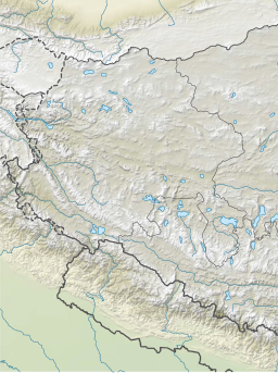
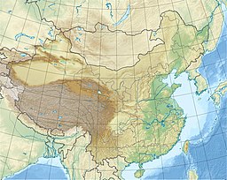
| Location | Burang County, Ngari Prefecture, Tibet Autonomous Region, China |
| Coordinates | 30°39′N 81°27′E / 30.65°N 81.45°E |
| Surface area | 320 km2 (120 sq mi) |
| Max. depth | 100 m (330 ft) |
| Surface elevation | 4,600 m (15,100 ft) |
| Frozen | Winter |
Lake Manasarovar (Sanskrit: मानसरोवर, romanized: Mānasarōvar), also called Mapam Yumtso (Tibetan: མ་ཕམ་གཡུ་མཚོ།, Wylie: ma pham g.yu mtsho, THL: ma pam yu tso; Chinese: 瑪旁雍錯; pinyin: Mǎ páng yōng cuò) locally,[a] is a high altitude freshwater lake near Mount Kailash in Burang County, Ngari Prefecture, Tibet Autonomous Region, China. It is located at an elevation of 4,600 m (15,100 ft), near the western trijunction between China, India and Nepal. It overflows into the adjacent salt-water lake of Rakshastal via the Ganga Chhu. The sources of four rivers: Indus, Sutlej, Brahmaputra, and Karnali lie in the vicinity of the region.
The lake is sacred in Hinduism, Buddhism, Jainism and Bon religion. People from India, China, Nepal and other countries in the region undertake a pilgrimage to the region. The pilgrimage generally involves trekking towards Lake Mansarovar and a circumambulation of the nearby Mount Kailash.
- ^ "Geographical names of Tibet AR (China): Ngari prefecture". KNAB Place Name Database. Institute of the Estonian Language. 3 June 2018. Archived from the original on 10 January 2020. Retrieved 28 August 2022.
- ^ McKay, Alex (2013). Pilgrimage in Tibet. Routledge. p. 26. ISBN 978-1-13680-709-1. Archived from the original on 28 August 2022. Retrieved 28 August 2022.
Cite error: There are <ref group=lower-alpha> tags or {{efn}} templates on this page, but the references will not show without a {{reflist|group=lower-alpha}} template or {{notelist}} template (see the help page).


