| Lake Prespa | |
|---|---|
 The Island of Maligrad in the Albanian part of the lake | |
| Location | Balkan Peninsula |
| Coordinates | 40°54′N 21°02′E / 40.900°N 21.033°E |
| Type | Ancient lake, tectonic |
| Primary outflows | Lake Ohrid via karstic channels |
| Basin countries | |
| Surface area | 318 km2 (123 sq mi) |
| Max. depth | 54 m (177 ft) |
| Surface elevation | 853 m (2,799 ft) |
| Islands | Golem Grad, Mal Grad |
| Official name | Lake Prespa |
| Designated | 4 April 1995 |
| Reference no. | 726[1] |
| Official name | Albanian Prespa Lakes |
| Designated | 13 June 2013 |
| Reference no. | 2151[2] |
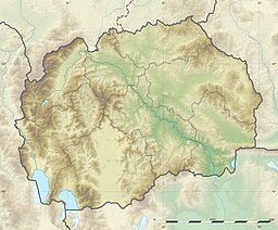
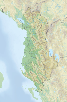
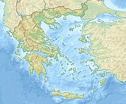
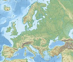
The Lake Prespa is located on the tripoint of North Macedonia, Albania and Greece. It is a system of two lakes separated by an isthmus: the Great Prespa Lake, divided between the three countries, and the Little Prespa Lake, mostly within Greece. They are the highest tectonic lakes in the Balkans, at an elevation of 853 metres (2,799 ft).
The area contains three national parks: Galičica National Park in North Macedonia, Prespa National Park in Albania, and Prespa National Park in Greece. The largest town in the region is Resen in North Macedonia. In 2014, Ohrid-Prespa Transboundary Biosphere Reserve between Albania and North Macedonia was added to UNESCO's World Network of Biosphere Reserves.[3]
- ^ "Lake Prespa". Ramsar Sites Information Service. Retrieved 25 April 2018.
- ^ "Albanian Prespa Lakes". Ramsar Sites Information Service. Retrieved 25 April 2018.
- ^ Thirteen sites added to UNESCO's World Network of Biosphere Reserves – UNESCO


