| Lake Yuriria | |
|---|---|
| Laguna de Yuriria (Spanish) | |
 | |
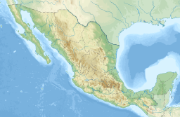
| Location | Guanajuato, Mexico |
| Coordinates | 20°14′51″N 101°8′58″W / 20.24750°N 101.14944°W |
| Type | Reservoir |
| Primary inflows | canal to the Lerma River |
| Primary outflows | canal to the Lerma River |
| Catchment area | Lerma River |
| Basin countries | Mexico |
| Surface area | 7,200 ha (18,000 acres) |
| Max. depth | 2.6 m (8 ft 6 in) |
| Surface elevation | 1,730 m (5,680 ft) |
| Settlements | Yuriria |
| Official name | Laguna de Yuriria |
| Designated | 2 February 2004 |
| Reference no. | 1934[1] |
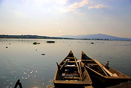
Lake Yuriria (Spanish Laguna de Yuriria) is a reservoir in Guanajuato state of central Mexico. The reservoir has existed since the 16th century, and is used for irrigation of the surrounding farms. The lake is an important habitat for waterbirds, and was declared a wetland of international importance.[1]
- ^ a b "Ciénegas de Lerma". Ramsar Sites Information Service. Retrieved 26 July 2022.

