Lalmonirhat
লালমনিরহাট | |
|---|---|
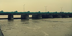
Clockwise from top-left: Lost Mosque, Tin Bigha Corridor, Field in Dahagram Union, Teesta Barrage, Kakina Zamindar Bari | |
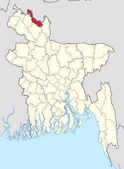
 Location of Lalmonirhat District in Bangladesh | |
 Expandable map of Lalmonirhat District | |
| Coordinates: 26°00′N 89°15′E / 26.00°N 89.25°E | |
| Country | |
| Division | Rangpur |
| Headquarters | Lalmonirhat |
| Area | |
• Total | 1,247.37 km2 (481.61 sq mi) |
| Population | |
• Total | 1,428,406 |
| • Density | 1,100/km2 (3,000/sq mi) |
| Time zone | UTC+06:00 (BST) |
| Postal code | 5500 |
| Area code | 0591 |
| ISO 3166 code | BD-32 |
Lalmonirhat (Bengali: লালমনিরহাট জেলা, Lalmonirhat Jela also Lalmonirhat Zila) is a District, situated at the northern border of Bangladesh. It is a part of the Rangpur Division.[2] Lalmonirhat mahakuma was established as a district on 1 February 1984. It lies north of Kochbihar and Jalpaiguri of West Bengal, south of Rangpur, east of Kurigram and Kochbihar and west of Rangpur and Nilphamari District. The international border line of Lalmonirhat district is 281.6 km long.
- ^ Cite error: The named reference
2022census-prelimwas invoked but never defined (see the help page). - ^ Tanzimul Nayan (2012). "Lalmonirhat District". In Sirajul Islam and Ahmed A. Jamal (ed.). Banglapedia: National Encyclopedia of Bangladesh (Second ed.). Asiatic Society of Bangladesh.


