| Langeberg | |
|---|---|
 Landscape of the Langeberg Range near Robertson | |
| Highest point | |
| Peak | Keeromsberg |
| Elevation | 2,075 m (6,808 ft) |
| Listing | List of mountain ranges of South Africa |
| Coordinates | 33°33′43″S 19°36′09″E / 33.56194°S 19.60250°E |
| Dimensions | |
| Length | 250 km (160 mi) NW/SE |
| Width | 20 km (12 mi) NE/SW |
| Geography | |
| Country | South Africa |
| Province | Western Cape |
| Parent range | Western Cape System |
| Geology | |
| Orogeny | Cape Fold Belt |
| Rock age | Paleoproterozoic |
| Rock type | Sandstone |
| Climbing | |
| Easiest route | From Montagu |
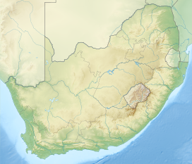
The Langeberg Range is a mountain range in the Western Cape province of South Africa. Its highest peak is Keeromsberg at 2,075 m that lies 15 km northeast of the town of Worcester. Some of the highest peaks of the range are located just to the north of Swellendam, in a subrange known as the Clock Peaks whose highest point is the 1,710 m high Misty Point. Local lore states one can tell the time by means of the shadows cast by the seven summits of the Clock Peaks.
