This article needs additional citations for verification. (April 2024) |
Libreville | |
|---|---|
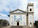
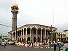
Boulevard du nord, Palais du Sénat, Gabon Mining Logistics building, Church of Notre-Dame de Lourdes, The Mosquée du CHU (Centre Hospitalier Universitaire), Bay of the Cap | |
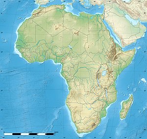
| Coordinates: 0°23′25″N 9°27′15″E / 0.39028°N 9.45417°E | |
| Country | Gabon |
| Province | Estuaire Province |
| Capital district | Libreville |
| Area | |
| • Land | 65.42 km2 (25.26 sq mi) |
| • Metro | 189 km2 (73 sq mi) |
| Population (2013 census) | |
| 703,904 | |
| Time zone | UTC+01:00 (West Africa Time) |
| • Summer (DST) | (Not Observed) |
| HDI (2018) | 0.788[1] high |
| Website | www |
Libreville is the capital and largest city of Gabon, located on the Gabon Estuary. Libreville occupies 65 square kilometres (25 sq mi) of the northwestern province of Estuaire. Libreville is also a port on the Gabon Estuary, near the Gulf of Guinea. As of the 2013 census, its population was 703,904.[2]
The area has been inhabited by the Mpongwe people since before the French acquired the land in 1839. It was later an American Christian mission, and a slave resettlement site, before becoming the chief port of the colony of French Equatorial Africa. By the time of Gabonese independence in 1960, the city was a trading post and minor administrative centre with a population of 32,000. Since 1960, Libreville has grown rapidly and now is home to one-third of the national population.
- ^ "Sub-national HDI – Area Database – Global Data Lab". hdi.globaldatalab.org. Retrieved 13 September 2018.
- ^ "GeoHive – Gabon". 22 October 2015. Archived from the original on 6 September 2011.


