| Limalok | |
|---|---|
 | |
| Summit depth | 1,255 metres (4,117 ft) |
| Summit area | 636-square-kilometre (246 sq mi) |
| Location | |
| Group | Ratak Chain |
| Coordinates | 5°36′N 172°18′E / 5.6°N 172.3°E[1] |
| Country | Marshall Islands |
| Geology | |
| Type | Guyot |
| Age of rock | Cretaceous |
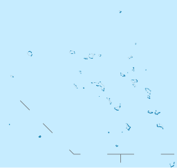
Limalok (formerly known as Harrie or Harriet) is a Cretaceous[a]-Paleocene[b] guyot/tablemount in the southeastern Marshall Islands, one of a number of seamounts (a type of underwater volcanic mountain) in the Pacific Ocean. It was probably formed by a volcanic hotspot in present-day French Polynesia. Limalok lies southeast of Mili Atoll and Knox Atoll, which rise above sea level, and is joined to each of them through a volcanic ridge. It is located at a depth of 1,255 metres (4,117 ft) and has a summit platform with an area of 636 square kilometres (246 sq mi).
Limalok is formed by basaltic rocks and was probably a shield volcano at first; the Macdonald, Rarotonga, Rurutu and Society hotspots may have been involved in its formation. After volcanic activity ceased, the volcano was eroded and thereby flattened, and a carbonate platform formed on it during the Paleocene and Eocene. These carbonates were chiefly produced by red algae, forming an atoll or atoll-like structure with reefs.
The platform sank below sea level 48 ± 2 million years ago during the Eocene, perhaps because it moved through the equatorial area, which was too hot or nutrient-rich to support the growth of a coral reef. Thermal subsidence lowered the drowned seamount to its present depth. After a hiatus lasting into the Miocene,[c] sedimentation commenced on the seamount leading to the deposition of manganese crusts and pelagic sediments; phosphate accumulated in some sediments over time.
Cite error: There are <ref group=lower-alpha> tags or {{efn}} templates on this page, but the references will not show without a {{reflist|group=lower-alpha}} template or {{notelist}} template (see the help page).
