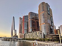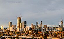
This is a complete listing of the suburbs and localities in the greater Sydney area in alphabetical order. Sydney has about 30 local government areas, each consisting of several suburbs. Suburbs in Australia are purely geographical, not political, divisions, but have officially defined boundaries. The term “suburban” is used for such defined districts throughout the metropolitan area, even in the city centre. See table below, Category: Suburbs of Sydney and Category: Local government areas in Sydney.
Suburbs are listed here if they are inside the Sydney metropolitan area, and are listed in the New South Wales Geographical Names Register[1] as being suburbs. For this list, the boundaries of the Sydney metropolitan area are defined as the Hawkesbury/Nepean River in the north/north west, and then the outer boundaries of the City of Penrith, Camden Council, the City of Campbelltown and Sutherland Shire.
Some but not all Sydney localities are also listed, and localities are shown in italics to differentiate them from suburbs. Further localities may be added if they are on the Geographical Names Register, are inside the Sydney metropolitan area, and are also listed in the "Suburb and Localities Index" of the most recent (2019) edition of the Sydney UBD Street Directory.


- ^ "Name search". Geographical Names Register. Geographical Names Board of New South Wales. Retrieved 23 July 2018.