List of historic properties in Sedona, Arizona | |
|---|---|
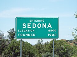
 Entering the City of Sedona | |
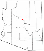
 Location of Sedona in Arizona | |
| Coordinates: 34°52′11″N 111°45′40″W / 34.86972°N 111.76111°W |
| Part of a series of the |
| Cities, towns and CDPs in Arizona with lists and images of historic properties, forts, cemeteries or historic districts |
|---|

This is a list, which includes a photographic gallery, of some of the remaining historic buildings, houses, structures and monuments in Sedona, Arizona (a city that straddles the county line between Coconino and Yavapai counties in the northern Verde Valley region of Arizona). Sedona also has a historical district known as the Pendley Homestead Historic District which is not pictured. The district is located on State Route 89A, 7 miles (11 km) north of Sedona within the Slide Rock State Park. It was listed in the National Register of Historic Places (NRHP) on December 23, 1991; reference: #91001857. Some of the structures are individually listed in the NRHP. Some of the properties have been designated as Sedona Historic Landmarks by the Sedona Historical Society. Sedona has a historic cemetery where the namesake of the city is buried.
