| Little Burro Mountains | |
|---|---|
Little Burro Mountains in New Mexico | |
| Highest point | |
| Peak | Eagle Point (Little Burro Mountains) |
| Elevation | 6,500 ft (2,000 m) |
| Coordinates | 32°42′20″N 108°23′11″W / 32.705632°N 108.386438°W |
| Dimensions | |
| Length | 15 mi (24 km) NW-SE |
| Width | 5 mi (8.0 km) |
| Geography | |
| Country | United States |
| State | New Mexico |
| Region(s) | (northwest)-Chihuahuan Desert Continental Divide of the Americas |
| County | Grant County, NM |
| Settlement | |
| Range coordinates | 32°42′20″N 108°23′11″W / 32.705632°N 108.386438°W |
| Borders on | |
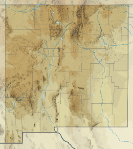
The Little Burro Mountains are a short 15 mi (24 km) long mountain range located in Grant County, New Mexico. The range lies adjacent to the southeast border of the larger Big Burro Mountains. The Little Burro Mountains are located 8 mi southwest of Silver City. State Road 90 from Silver City skirts the southern perimeter of the range on its route to Lordsburg.
The Continental Divide traverses the southern ridgeline of the Little Burro's and continues on its southwest flank.
